Drei gratis Dienste, die Ihnen das Suchen leichter machen:
+ Meine Suche ans Schwarze
Brett
 pinnen
+ Bei Neueinstellungen zu meinem Sammelgebiet automatisch benachrichtigen lassen
+ Oder Follower
werden und mich bei Neueinstellungen meines Lieblingshändlers informieren lassen
 Jetzt finden, was ich schon lange gesucht habe!


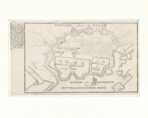
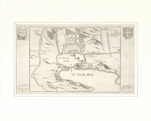
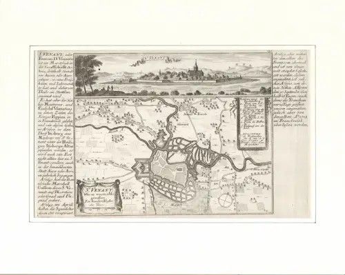
![Toul oder Tul [Tull]. Befestigungsplan aus der Vogelschau. Original-Kupferstich, Bodenehr, Gabriel](https://img.oldthing.net/21250/56092016/0/s/Toul-oder-Tul-Tull--Befestigungsplan-aus-der-Vogelschau-Original-Kupferstich-Bodenehr-Gabriel.webp?t=1763374974)
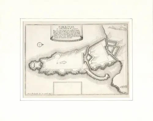
![Grundriss der Festung Schenken Schantz [Schenkenschamtz, lat. Arx Schenkia]. Befestigungsplan aus der Vogelschau. Original-Kupferstich, Bodenehr, Gabriel](https://img.oldthing.net/21250/56091995/0/s/Grundriss-der-Festung-Schenken-Schantz-Schenkenschamtz-lat-Arx-Schenkia--Befestigungsplan-aus.webp?t=1763374974)